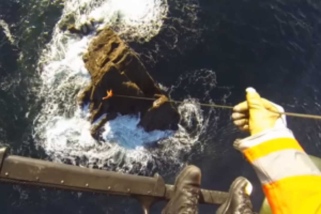
The lunk below shows how a video of the Air Corps using helicopters to help map our coastline.
Geographers from Ordnance Survey Ireland have found themselves being winched onto isolated, windswept rocks all over the place as part of a mission to map the exact measurements of the country’s territorial waters.
http://www.thejournal.ie/air-corps-mapping-1838679-Dec2014/?utm_source=email